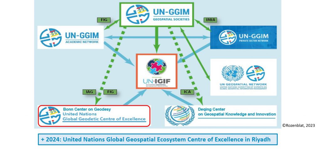
L’une des retombées des travaux du Groupe d’experts des Nations Unies sur la Gestion Globale de l’Information Géospatiale (UNGGIM) est le cadre IGIF, dont la mise en oeuvre est en cours dans de nombreux pays avec le concours de plusieurs réseaux et partenaires , dont les centres d’excellence créés pour contribuer à cette tache.
Importance du Développement des Capacités et la Formation
High-Level Group of the Integrated Geospatial Information Framework (HLG-IGIF)
Parmi les principales fonctions de ce groupe:
Identify opportunities, including twinning arrangements, to develop reference resourcesand training materials on the implementation of the IGIF, in order to provide the bestpossible support for countries, in particular, countries in special situations;
https://ggim.un.org/documents/HLG-IGIF_ToR_February%202021.pdf
Le plan stratégique 2021 du groupe comporte l’objectif stratégique 3 relatif au renforcement du développement des capacités.
[i] Serve as executive champions of the IGIF promoting its broad implementation and use.
[ii] Provide guidance and recommend technical support and capacity development for countries in need, to enable the implementation of the IGIF.
[iii] Assist developing countries to implement the IGIF, particularly those who have little or no geospatial capacity.
[iv] Encourage exchange and sharing of good practices, experiences, successful strategies, and effective implementations of the IGIF.
Outcome:
https://ggim.un.org/meetings/GGIM-committee/11th-Session/documents/HLG-IGIF-Strategic-Plan_Jul2021.pdf
Improved and organized approaches for nationally integrated geospatial information management arrangements through strengthened capacity, capability, and greater use of geospatial information.
Neuvième réunion de UNGGIM: Africa
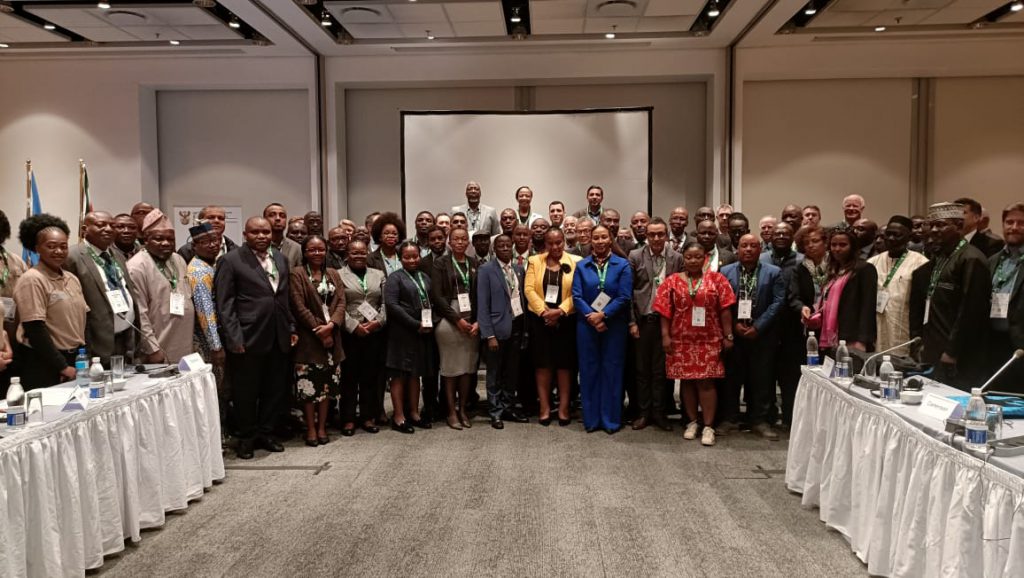
Je rappelle quelques recommandations du Regional Committee of United Nations Global Geospatial Information Management for Africa Ninth meeting Cape Town, South Africa, 14 – 18 August 2023
Recommendation on the integrated geospatial information framework (IGIF)
Meeting Report UN-GGIM: Africa | 9th Session of the Regional Committee Meeting Report
- Noting that the IGIF, as a new paradigm of geospatial information management, is now considered by the Economic Council of the United Nations (ECOSOC) as a global framework at the same level as the agenda 2030.
- Acknowledging that the nine strategic pathways of the IGIF are becoming the reference guide for developing and strengthening arrangements in national geospatial information management.
- Encourage Member States to actively interact, contribute and participate in the SDG Data Alliance initiative to ensure that their national geospatial strategies are aligned with the regional momentum, improving opportunities for collated effort and resource-sharing.
- Recommend Member States to actively share best practices, challenges and successes related to the operationalization of IGIF’s Country-level Action Plans.
- Encourage UN-GGIM: Africa Secretariat and Member States to continue actively advocating for the importance and benefits of IGIF, aiming at wider societal understanding and adoption.
- Request the United Nations, the Economic Commission for Africa, the UN-GGIM Secretariat, the regional centres of excellence, the private sector, the academia, and other partners to further extend support in providing continuous training, updates and capacity-building resources to Member States to maintain effective IGIF operations.
Réunion de consultation sur le renforcement des arrangements nationaux de la Gestion de l’Information Géospatiale et accélération de la réalisation des ODD
Il s’agit de l’Expert consultation and meeting to enhance national geospatial information management arrangements and accelerate the achievement of the SDGs Addis Ababa, Ethiopia, 23 to 28 October 2023.
United Nations Global Geospatial Information Management (UN-GGIM: Africa) Meeting Report Guidelines for the implementation of the Integrated Geospatial Information Framework.
Appui des centres d’excellence
Trois centres d’excellence ont été crées par les Nations Unies dans le cadre de UNGGIM:
- Geodetic Excellence Centre à Bonn en Allemagne
- Geospatial Knowledge and Innovation Centre à Deqirg en Chine
- Geospatial Ecosystem Centre à Riyadh en Arabie Saoudite (en cours)
Je me concentre sur le GGKIC compte tenu de ce qui est attendu de ce centre dans la mise en œuvre de IGIF.
https://un-ggim-europe.org/wp-content/uploads/2023/11/20.-UN-GGIM-Geospatial-Societies_CR_V2.pdf
United Nations Global Geospatial Knowledge and Innovation Centre (UN-GGKIC) The Centre’s overarching goal is to work towards the ambitions of implementation of the United Nations Integrated Geospatial Information Framework (UN-IGIF) set by Member States, to develop capacity, promote and support the required innovation, leadership, coordination and standards to develop, strengthen, integrate and deliver national geospatial information policy, data, systems, tools, services and capabilities into their national government development policies, strategies and arrangements.
https://ggim.un.org/meetings/2023/UN_GGKIC_1st_mtg_IAC/
Formations en ligne
Je cite à titre d’exemple le cous en ligne en anglais de la Banque Mondiale:

https://www.worldbank.org/en/olc/course/51929
Je signale aussi le cours introductif sur le sujet orienté conception de SDI, présenté dans le webinaire du 6 avril 2020:
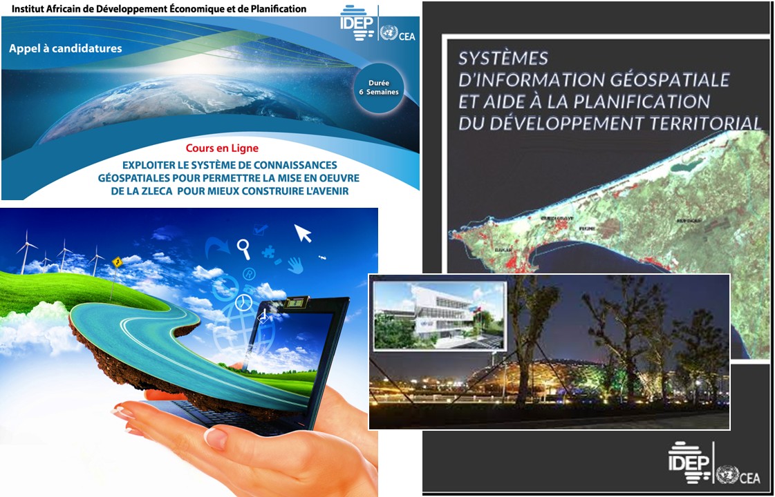
Le cours de l’IDEP suivant a suivi une démarche similaire :
https://www.irma-international.org/chapter/geospatial-decision-support-systems/257628/
L’étape à venir sera un cours en ligne multilingue pour l’élaboration et mise en œuvre de Stratégies Nationales d’Information Géospatiales et leurs plans d’action, prenant en comptes les expériences, agendas et contextes spécifiques, surtout que des pays africains sont engagés dans ce processus sous l’égide de UNGGIM: Africa et SDG Data Alliance.
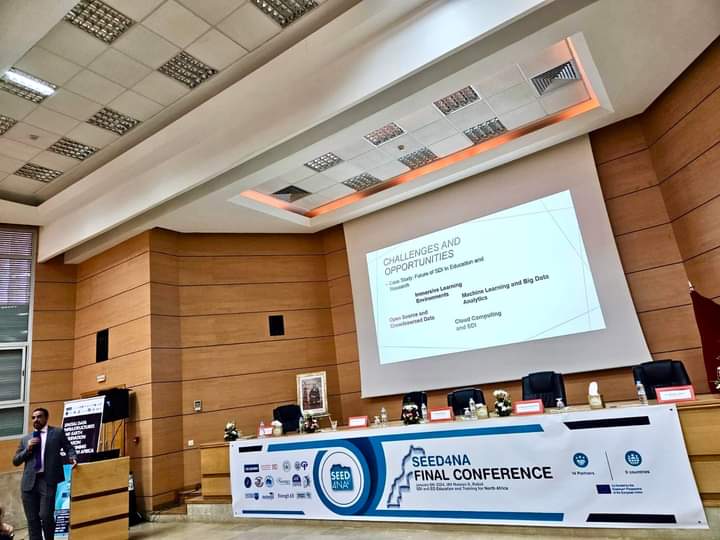
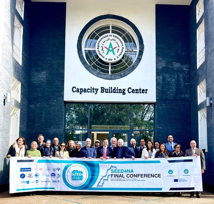
Avancées en Afrique du Nord
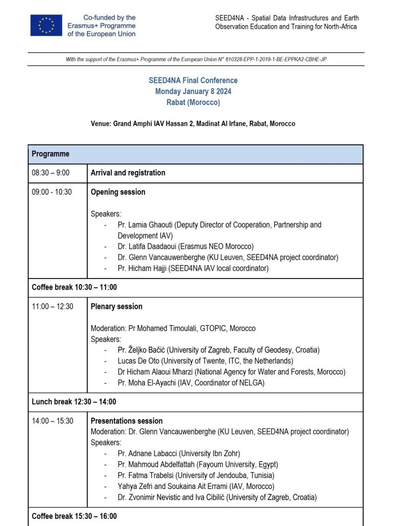
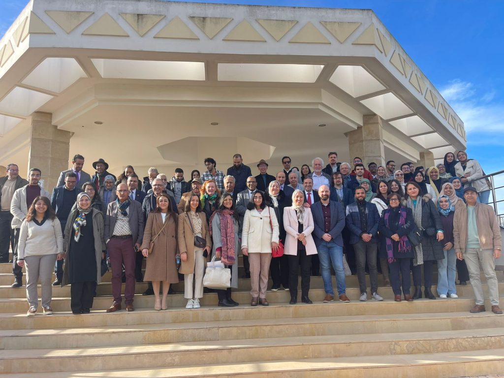
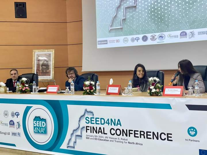
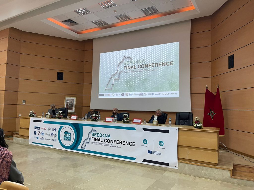
La conférence finale du projet SEED4NA organisée le 8 janvier 2024 à l’IAVH II, a été l’occasion de faire le point sur les résultats du projet et ses impacts au niveaux des institutions et pays participants.