Je reviens sur mon blog ci-dessous où j’avais abordé les mises en oeuvre de IGIF aux Emirats Arabes Unies et Royaume d’Arabie Saoudite sous l’égide de UNGGIM Arab States, afin de l’actualiser par des avancées avec UNGGIM: Africa.
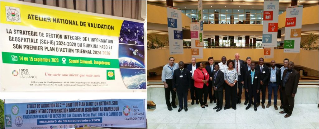
Le Burkina Faso élabore sa Stratégie Intégrée de Gestion de l’Information Géospatiale
Résultant du projet SDG Data Alliance, la Stratégie Intégrée de Gestion de l’Information Géospatiale (SGI-IG) a été validée par les participants à l’atelier du 14-15 septembre 2023, dans l’attente de son adoption au niveau Gouvernemental.

L’occasion de saluer et féliciter l’équipe dernière cette réalisation.
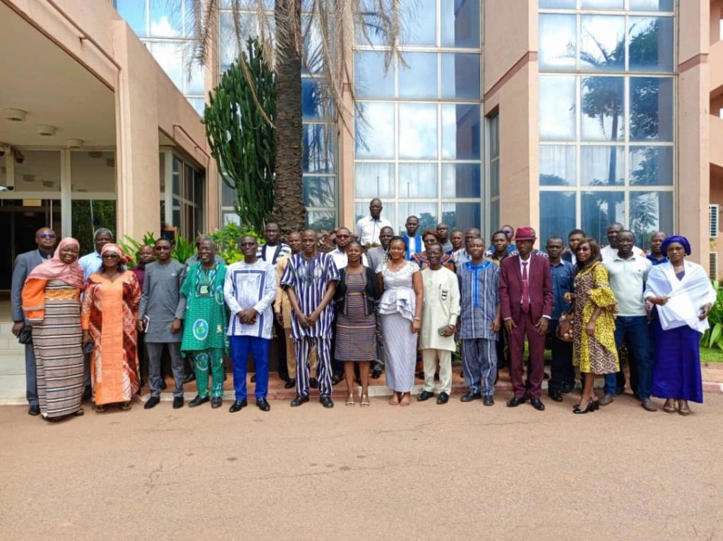
Plan d’Action National IGIF du Cameroun
Sous l’égide du SDG data alliance Cameroon Team , le plan d’action IGIF du Cameroun a été adopté lors d’un atelier organisé les 18-20 octobre 2023 sous l’égide de l’Institut National de Cartographie.

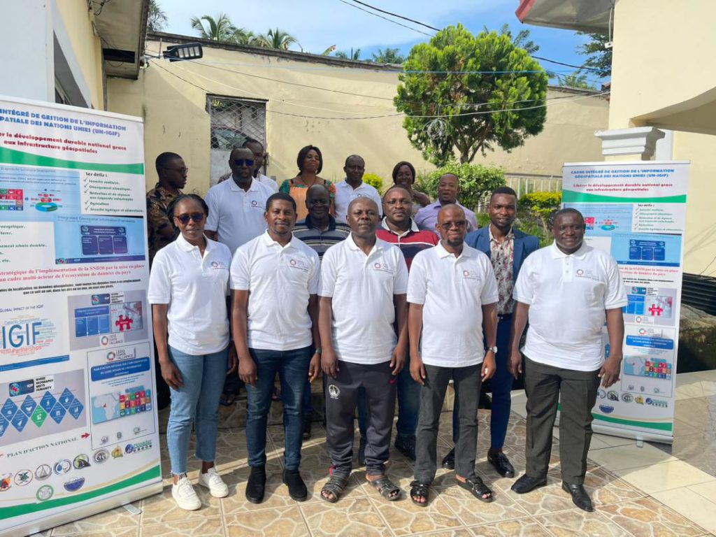
Consultation pour renforcer les arrangements nationaux de Gestion de l’information Géospatiale et accélerer la réalisation des ODD
la réunion to enhance national geospatial information management arrangements and accelerate the achievement of the SDGs s’est tenue à Addis Abeba les 23-28 octobre 2023.
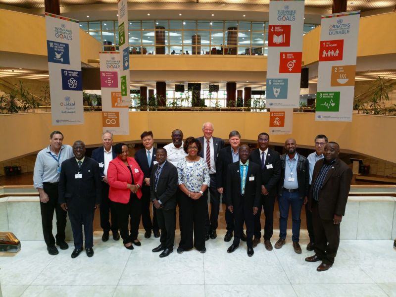
Le rapport de la réunion est accessible au lien suivant:
J’en cite des extraits de la conclusion de la réunion:
The role of geospatial data in decision-making processes cannot be understated. In today’s rapidly changing world, it is crucial to integrate this technology into various fields to address global challenges and achieve sustainable development. Geospatialtechnology, which includes tools and techniques for collecting, analysing, and visualizing geospatial data, has diverse practical applications in urban planning, disaster management, natural resource management, and climate change resilience.…
The role of national mapping agencies has evolved significantly over the years, making modernization a vital aspect of their operations. However, anticipating future transformations and potential risks is crucial to stay relevant and fulfill their essential role in modern society. There are still hurdles to overcome in effectively using geospatial data through Spatial Data Infrastructures (SDIs), but progress has been made through learning from diverse experiences…
One crucial aspect that was repeatedly emphasized was the country-owned and country-led approach, recognizing the pivotal role of nations in setting their own pace and implementing plans according to their specific priorities. Additionally, effective communication was emphasized as a powerful tool in influencing decision-makers and garnering support for initiatives. Collaboration and learning were also identified as essential components, acknowledging the value of involving stakeholders and experts from various departments to share knowledge and drive successful implementation. However, it was also acknowledged that engaging participants can be challenging due to competing priorities and commitments…
The importance of effective training programs, leadership behaviour, bridging the gap between training and implementation, and resource allocation for training capabilities was also highlighted. Additionally, the significance of targeted support and guidance for different regions and countries to promote collaboration and knowledge sharing was recognized. It was also acknowledged that faster and more efficient methods of providing support, data disaggregation, reticulation, and strengthening the SDG data environment were crucial for achieving the Sustainable Development Goals
https://www.uneca.org/eca-events/sites/default/files/resources/documents/acs/2023-un-ggim-africa/reports/2023_un-igif_consultative_workshop_report_rev.1.pdf


