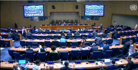
Le précédent blog s’est intéressé à la quatorzième session du comité UN-GGIM tenue les 7-9 août 2024 à New York.
Il s’agit pour l’essentiel des points à l’ordre du jour relatifs à l’écosystème de production de l’information Geospatiale.
Ce blog aborde l’intégration de l’information Geospatiale aux statistiques et son rôle dans le développement durable, climat et résilience, débattus lors de la quatrième réunion de la session.

Rôle de l’information géospatiale dans le domaine du développement durable

Rôle de l’information géospatiale dans le domaine du climat et de la résilience

Intégration des informations géospatiales, statistiques et autres informations connexes





Investir dans les programmes Geospatiaux nationaux
g) Recognized the increasingly complex and challenging operating environment for national geospatial, mapping and cadastral agencies with rapid technological changes and advancements (including in artificial intelligence), noted also that the 2030 Agenda for Sustainable Development has only six years remaining, in this context, stressed the importance to wholistically consider environment, climate, resilience and sustainability and requested the bureau with the support of the secretariat to consider these issues as a matter of priority as part of the development of the 2025-2030 strategic framework of the Committee, taking also into account within all activities and operations, aspects of diversity, equity and inclusion; and
(h) Reiterated the importance of strengthening and enhancing national geospatial information management arrangement, capacity, capability and leadership, urged for sustained national investments in national geospatial programs, and emphasized the critical need to mobilize extrabudgetary resources at the global level to support national efforts, and the global and regional activities of the Committee.


